SEP 8, 2024 SUN 12:13 pm
28c/82f | Partly cloudy | 23% humidity | 7,232 ft highest point |
Another Sunday hike with Branch. This is a trail in the mountains about a 35 minute drive West that I’ve been wanting to go to for a long while now. It features a big river, the South Boulder Creek.
The drive there involves an exciting, albeit mildly anxiety inducing winding road up Flagstaff Mountain. I wish we would’ve taken a video of the dense evergreen forests on either side of the road. It’s an entirely different world up there. There was even a point where the ground leveled out for a while, and the combination of that and the presence of everyday homes gave the illusion of being at sea level, despite being over 7,600 feet in the air.
Parking lot rating
This trailhead is in a relatively remote area, and is usually pretty popular. We didn’t have an issue finding a spot, though, despite it being a Sunday.
Click/tap on photos to enlarge! Use the 🗩 icon in the bottom right to add a comment. On mobile, tap ⓘ to show the caption.


It’s a very odd set of conditions. The clouds are blocking the sun, so the absence of direct sunlight means the landscape is lit by ambient light only. Everything looks strangely neutral. The air is almost completely still, and it feels like room temperature. It is silent. All of these factors combined makes it feel as though we are not outside, but in some kind of simulated indoor environment.
The place is gorgeous though – grassy plateaus and big stony cliffs frame the gentle slopes of the valley below.


We begin on high ground and slowly make our way down into the valley, where the river flows. The sun’s starting to come out.


Below: we’ve run into this weird bush multiple times before. It’s apparently called Mountain Mahogany. Tons of curly, feathery white growths sprout from its branches.


Early signs of fall up here in the mountains can be seen in the isolated Aspen trees dotting the area.


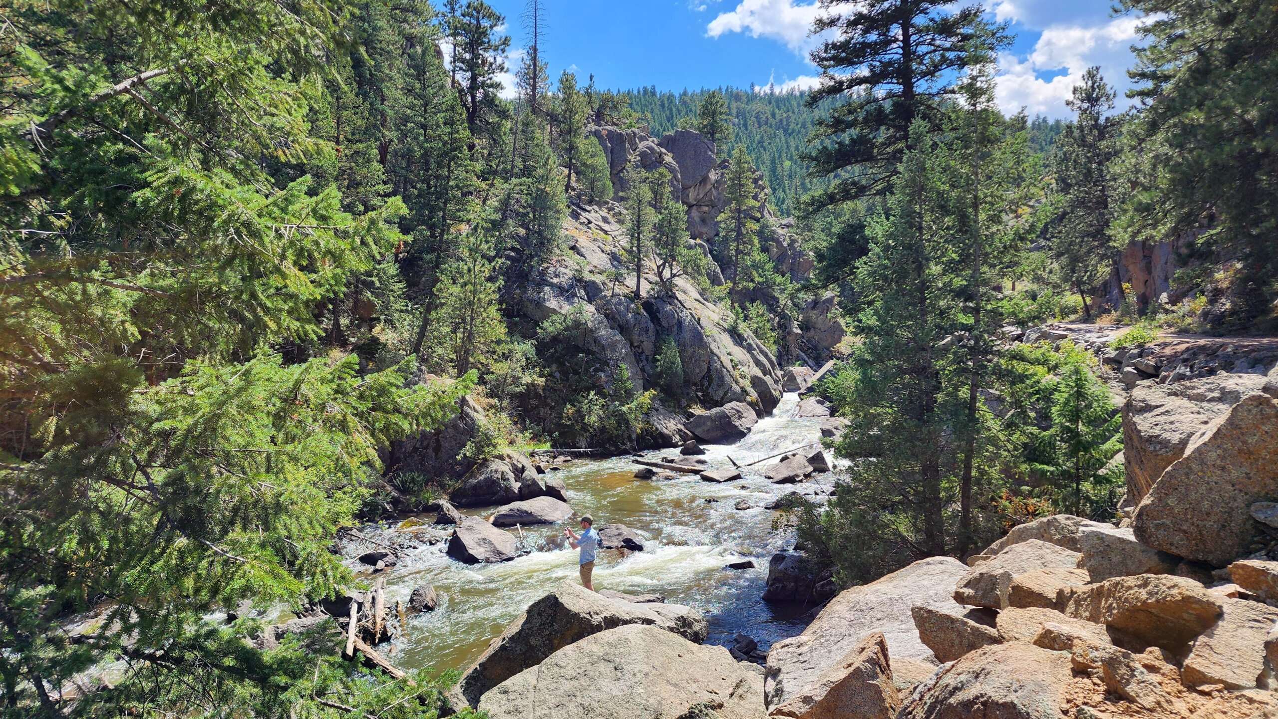
We’ve reached the main attraction of this trail now: the river.


As we follow the river further upstream, there’s a section of whitewater that looks and sounds pretty magnificent.


The last section of the trail before the turnaround point is in the forest, and to get there, we cross the river via this charming bridge.


You can see that house on the hill from before more clearly now.


Heading back now, after having reached the end of the trail which is marked by a private property warning.

We didn’t think about the fact that starting a trail with a long descent means that you have to make a long ascent at the end of your hike, when you have the least energy. It was strenuous to say the least.


Branch’s Bit at the Bottom
When taking a hike, one should consider several important factors. Weather and Temperature, Trail Conditions and Length, and of course, “Do I start this trail by walking down 500 feet? If I start by walking down 500 feet then I must end the trail by walking up 500 feet.” Unfortunately we only checked the first four.
Dying aside, this was a very nice hike. While climbing the large boulder above, I got a few pictures and saw a very animated chipmunk. Have a look –

Down in the valley, there were very nice rock faces lining the river. I took several pictures, but liked this one the most –

Was it worth the struggle back up to the car for these pictures? I’ll say yes, but I’ll say it in a way that makes you wonder if I actually meant it. Yes.
Thank you for reading!


Leave a Comment