SEP 7, 2024 SAT 10:18 am
23c/73f | Mostly sunny | 31% humidity | 6,947 ft highest point |
Gregory Canyon is a trailhead near Chatauqua. I’ve passed through it once on the linked hike fairly recently. Last week, my mom sent me an Instagram video of a couple people hiking the Gregory Canyon trail, so I decided to try it myself. I picked a route that includes it and two other trails.
There’s another 3+ hour route that goes up to the summit of Flagstaff Mountain, so I am planning on trying that one on a day I have nothing else planned.
Parking lot rating
Well, I did expect it to be crowded, but I forgot that this trailhead has only SIX actual parking spaces. The entire road leading up to it was lined with cars, but as if by magic, someone pulled out of a perfect spot as soon as I got there. It was at the nearest end of the “parkable” road space, so no parallel parking between other cars was necessary.
Click/tap on photos to enlarge! Use the 🗩 icon in the bottom right to add a comment. On mobile, tap ⓘ to show the caption.
It’s very cool here between the mountains, almost cold.


The trail starts at the end of the road, and straight off the bat, it’s densely vegetated. I can already tell this is going to be an unusual hike.


If this really is a canyon we’re in, It’s the greenest one I’ve ever seen.
Plant Zone
The diversity of flowers just within this one particular spot is incredible.


These clasts (embedded rocks) look like baked potatoes…


A bridge!


Picked this up because I thought it was an ancient carved arrowhead from a Native American tribe, but it was just BARK

Below: I see a split in the trail here and a path that goes off to the right, but it’s not on the map. Very curious what’s down there. I may try to check it out another time.


Stepping off the trail here for a moment awards a look at some characteristic exposed rocky cliffs.


Here’s something kind of interesting… I’m pretty sure the tree highlighted below is this one from a previous hike. I love spotting the same landmarks from different viewpoints like this.


I had to stop here for a break because I was feeling the onset of altitude sickness, and I could constantly hear a group of college guys talking shortly behind me on the trail which was ruining the peace.
An rx bar and a full bag of stale dried fruit and nuts later, I’m good to go again. A good tip to avoid a bar wrapper from coating the inside of your bag with melted chocolate is to shove it inside an empty water bottle like this.
Nice, a quiet forest section.


AllTrails does not show me my remaining route time, which is slightly concerning
A strange, unidentified box in the woods…


We’ve reached Realization Point, which is a scenic viewpoint most people drive to. It also has a path to the Flagstaff nature center, which is tempting, but I’ve got a long ways left to go on this hike.


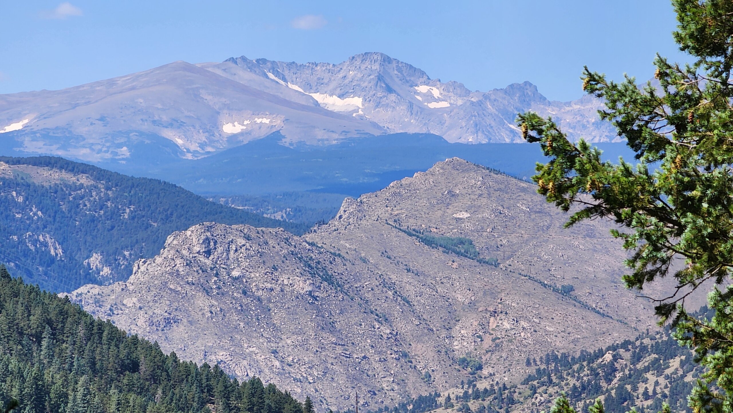
Damn, I did not realize I would get views of the Indian Peaks from this trail! This is definitely a welcome surprise.


Range View Trail is the section of the route that has these views. I definitely need to come back here in mid to late fall, when the peaks will be snow capped.
Carrying on with some swiftness because my phone’s battery level is dropping…


Actually, I just found it via satellite imagery on Google Maps. It’s the Betasso Treatment Plant, where most of the city of Boulder’s water supposedly comes from. That’s one mystery solved!
The descent back down the mountain is loooong, and involves crossing the winding Flagstaff road many times.


Right image above: someone kindly indicated a “picnic area with great views” on AllTrails.


To quote a passing tourist: “holy guacamole”


Here are various other sights further along the descent.


Shoutouts to the middle aged man I passed with black painted toenails.


Left image above: dragon fruit looking pinecone
Right image: a large piece of rock(?) buried in the trail surface whose texture resembles the bark of a large tree. I almost wonder if it’s petrified wood.


At this point, my phone entered low power mode, making the screen too dim to see in the strong sun. I blindly attempted to take a few more photos, but when I got home, I realized it had switched to the front camera, so they were all just pictures of my face :’)
The didn’t phone die completely until I was almost back to the trailhead (thank god), and I was able to salvage the hike recording on AllTrails as well. That would be why the path isn’t closed in the hike map at the top of this post – you can see exactly where my phone died (black dot).
Thank you for reading!


Leave a Comment